
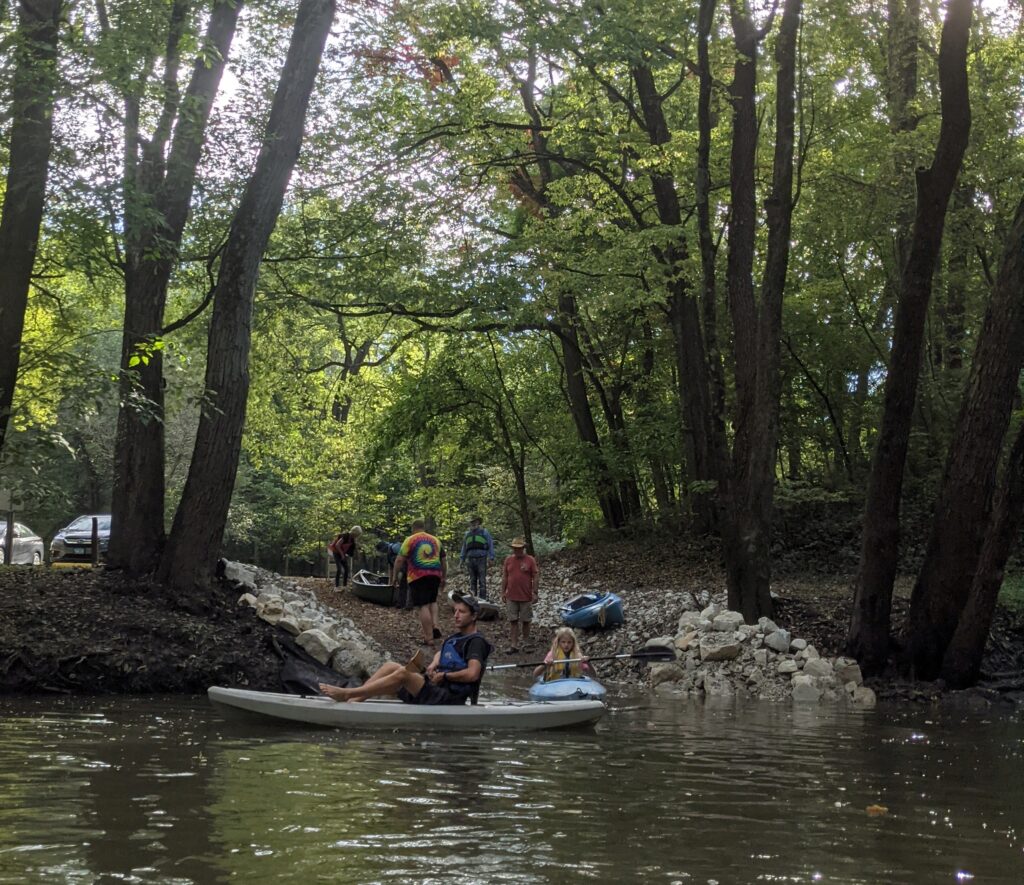
IPC’s Statewide Online Paddler’s Resource Map Project
(Note: the above map image is for illustrative purposes only)
Any good paddling trip starts with good information. If you don’t know where you are going, it’s going to be hard to have a good time. The Illinois Paddling Council features a combined paddling experience of many decades, and we are going to be translating that knowledge into a comprehensive paddling map with resources, hazards and sights to see along the way.
When prospective paddlers first begin thinking of getting on the water, questions about simple logistics begin. Questions like:
-What river should I go on?
-Where would I put in and take out?
-What is the distance between my start and end?
-What should I look out for along the way?
Oftentimes, these are questions that can be answered by a simple map. With that in mind, we are developing a comprehensive map to assist in planning your paddling trips. All major Illinois rivers will eventually be featured.
We realize that many resources are already out there, but ours should be the first statewide online initiative with comprehensive information on most of the frequently paddled rivers throughout our state (and possibly some others, too!)
We will also be seeking co-contributors and co-creators to our map project as we move forward. All of our technology relies on Google maps, so if you’d like to contribute information and details about your river in your area, please let us know through our Contact form on the website.
Whether you are a beginner looking to get started, or an experienced paddler seeking a new adventure, our map will be a resource to you. Check back often for new updates!